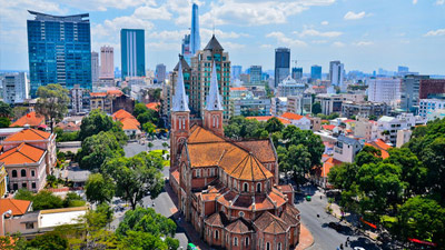
Vietnam Geography
Located in the southeast of Indochinese Peninsula Vietnam has 4,639 kilometer-long boundary on land and a coastline of 3,260 kilometers long. Lower from the northwest to the southeast, Vietnam has the diverse topography with mountains, hills, plains, coasts and continental shelf. The typical topography in the North is mountainous, while the Central Vietnam has the largest difference in height between the east and the west, and quite simple topography with Mekong Delta in Southern Vietnam. Thus the Vietnam's climate also changes and different from the north to the south which has two main climate regions, the tropical monsoon climate with four seasons in the North and the typical tropical climate with two separate seasons in the South.

Vietnam Location
Vietnam is located in the southeast of Indochinese Peninsula and covers an area of more than 330,000 square kilometers (128,000 square miles). The country has the shape of letter "S" and lies entirely in tropical region, between latitudes 8°27' and 23°23'N, and longitudes 102°8' and 109°27'E.
More info
Vietnam Topography
Vietnam's topography is very diverse with mountains, hills, plains, coasts and continental shelf. It's result of tectonic process in a long time of millions of years in the past. The topography is lower from the northwest to the southeast. Thus, almost the rivers in Vietnam have the stream following that direction.
More info
Vietnam Climate
Vietnam's climate is typical for the tropics: the weather all around the year is in high temperatures and humidity. In particular, Vietnam's climate regions include two main climate regions: the North and the South with the boundary is Hai Van Pass.
More infoVietnam Travel Guide
- Vietnam Overview
- Vietnam Geography
- Vietnam History
- Vietnam Ecology And Environment
- Vietnam Government And Politics
- Vietnam Economy
- Vietnam Demographics
- Vietnam Customs
- Vietnam Art Performance
- Vietnam Religions
- Vietnam Festivals
- Vietnam Gastronomy
- Get To Vietnam
- Vietnam Travel Tips
- Vietnam Travel Articles & News

 BEST TOURS


